A Weapon System America Gave Away for Free
GPS was not built to help you find a coffee shop. The US Department of Defense started the project in 1973 for one grim reason: accurately guiding nuclear missiles during the Cold War. Only a threat to the country's survival justified the enormous cost of putting a network of satellites in space.
The push toward civilian access came from tragedy. In 1983, Soviet forces shot down Korean Air Lines Flight 007 after the airliner drifted off its intended path. President Ronald Reagan responded by promising the world civilian access to GPS once it was complete, so ordinary pilots would never again lose their way like that.
By 1995 the system was fully operational, built at a cost of roughly twelve billion dollars. Remarkably, the US government still owns and runs every satellite, yet anyone on Earth with a simple receiver can use it for free.
The Navigation System That Runs on Einstein's Math
Every GPS satellite carries an atomic clock, a device so precise it barely loses a second in millions of years. These clocks let each satellite stamp its signal with the exact instant it was sent, down to billionths of a second.
Here is the twist: those clocks do not agree with clocks on the ground. Because the satellites sit in weaker gravity and race around Earth at high speed, relativity predicts their clocks tick about 38 microseconds faster per day than ours do. That sounds tiny, but left uncorrected it would make GPS positions drift by roughly ten kilometers a day.
So engineers built Einstein's equations directly into the system. Every phone that shows your location on a map is quietly relying on relativistic physics working out exactly as predicted.
How Four Dots in the Sky Pinpoint You
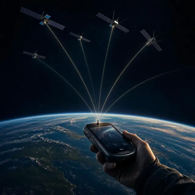
GPS finds your location using trilateration: measuring your distance from several satellites at once and seeing where those distances overlap. Each satellite constantly broadcasts a repeating pseudorandom code, a unique digital fingerprint stamped with the precise moment it was sent.
Your receiver compares the code it hears against the one it expects, calculating how long the signal took to travel at the speed of light. That delay converts directly into distance. A receiver needs signals from at least four satellites simultaneously to solve for its position in three dimensions and correct its own far-cheaper clock.
Crucially, your phone never has to send anything back. It just listens, which is exactly why GPS works anywhere on the planet without cellular signal or internet, and without anyone tracking who is using it.
An Invisible Fleet Watching From 20,000 Kilometers Up
Above your head, dozens of satellites circle Earth roughly 20,180 kilometers up, arranged in six separate orbital paths tilted about 55 degrees from the equator. Each satellite completes a full orbit in just under twelve hours, meaning it traces the exact same path over the ground every single day.
Keeping this fleet accurate takes constant human oversight. The US Space Force runs the operation from Schriever Space Force Base in Colorado, backed by monitoring stations scattered across the globe, from Hawaii and Kwajalein Atoll to Ascension Island and Diego Garcia.
Those stations track every satellite around the clock, feeding corrections back up so the atomic clocks and orbital data broadcast to your phone never drift out of sync.
From Deliberately Blurred to Centimeter-Sharp
For over a decade, the accuracy you now take for granted was intentionally sabotaged. The US military scrambled civilian GPS signals through a policy called Selective Availability, blurring ordinary receivers to about 100 meters of accuracy while keeping precise signals reserved for military use.
That changed overnight. On May 1, 2000, President Bill Clinton switched Selective Availability off entirely, instantly sharpening civilian accuracy to around 5 meters worldwide with no hardware changes required. Modern satellites have pushed precision even further: newer signals can reach about 30 centimeters, and specialized surveying receivers can narrow it down to just 2 centimeters.
GPS is not even alone anymore. Russia's GLONASS, Europe's Galileo, and China's BeiDou now offer similar coverage, but GPS remains the free, invisible backbone quietly running underneath maps, flights, and phones everywhere.