A Fifth of the Planet's Surface Fresh Water
Spread the water of the Great Lakes evenly and you could cover the 48 contiguous U.S. states 9.5 feet (2.9 m) deep. These five lakes, Superior, Michigan, Huron, Erie and Ontario, hold more than 20% of the world's surface fresh water. They are the largest group of freshwater lakes on Earth by area, and second only to Lake Baikal by volume.
Their combined surface covers about 94,250 square miles, roughly the size of the United Kingdom. Their coastline runs for about 10,500 miles. Follow all of it and you would travel a distance close to half way around the world at the equator.
They are so big that people have long called them inland seas. They have rolling waves, strong currents, steady winds, great depths and far-off horizons. Yet only about 1% of their water is new each year, arriving from rivers, rain and springs.
Two Lakes That Are Really One
Look at a map and you see five lakes. Look at the water and you might count four. Lakes Michigan and Huron are joined by the Straits of Mackinac, a channel five miles wide and 120 feet deep. Their water levels rise and fall together, and the flow between them often reverses direction. So they are sometimes treated as a single lake, Lake Michigan-Huron. Measured that way, it competes with Lake Superior for the title of largest freshwater lake in the world by area.
Water moves through the chain from Superior to Michigan and Huron, south to Erie, and finally north to Ontario. From there the Saint Lawrence River carries it to the Atlantic Ocean.
The lakes also hold about 35,000 islands. Manitoulin Island in Lake Huron is the largest island in any inland body of water on Earth. Its Lake Manitou is the largest lake on a freshwater island anywhere. Another of its lakes, Lake Mindemoya, even has its own island, called Treasure Island.
Carved Out by Giant Ice Sheets
The story of the Great Lakes starts over a billion years ago. Around 1.1 to 1.2 billion years ago, two tectonic plates that had been fused together split apart. The valley left behind became the basin that now holds Lake Superior. A second crack, the Saint Lawrence rift, formed about 570 million years ago and laid the groundwork for Lakes Ontario and Erie.
The lakes themselves are much younger. Near the end of the Last Glacial Period, the huge Laurentide Ice Sheet pulled back. It had scraped deep basins into the land, and its meltwater filled them. The lakes began to form around 14,000 years ago.
Because the ice wore down the land unevenly, some higher hills ended up as islands. Freed from the heavy ice, the land also slowly rose back up. This glacial rebound happened at different speeds in different places, because some areas stayed buried under ice longer than others.
Snow Bands, Fruit Belts and Ice Volcanoes
The lakes make their own weather. In winter, cold winds from the west sweep over open water that is slightly warmer than the air. The air picks up moisture, then drops it as heavy snow over the colder land. This is called lake-effect snow. It falls in narrow bands, and the snowiest strips are called snowbelts.
In summer, the lakes soak up heat and cool the nearby air. In autumn they slowly release that heat, which protects the shore from frost. The result is "fruit belts", where fruit grows much farther north than usual. Western Michigan has apple orchards, and cherry orchards line the lake shore as far north as Grand Traverse Bay.
Winter brings one more oddity. Storm waves carve into the ice sheet and push water and slush up through it, building cone-shaped mounds called ice volcanoes. They are only well documented on the Great Lakes, and they may even help protect the southern shores from worse erosion.
Freighters, Frozen Lanes and Famous Wrecks
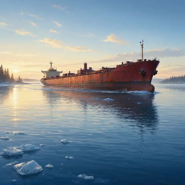
Outside of winter, more than 100 lake freighters work the Great Lakes nonstop. In 2002 they moved 162 million net tons of dry cargo, mostly iron ore, grain and potash. The Saint Lawrence Seaway links the lakes to the Atlantic, but today's wide container ships do not fit through its locks. So most trade is bulk cargo. From January to March, ice covers large parts of the lakes and stops most shipping. In the cold winter of 2013-2014, ice covered over 92% of the five lakes.
Sudden autumn storms make the lakes risky, and hundreds of ships have sunk there. Le Griffon, the first ship to sail the Great Lakes, went down in a storm in 1679. Two different wrecks have since been claimed as the real one.
An underwater preserve near Whitefish Point protects its wrecks like a museum. In 2008, divers found the 1780 warship HMS Ontario in Lake Ontario, a find described as an "archaeological miracle".