A Joke That Grew Its Own Flag
In 2008, a mapmaker named Steve Pellegrin invented an island that doesn't exist. He called it Null Island and built a website for the Republic of Null Island, with the tagline "Like no place on Earth." It was a private joke among mapping nerds, but the internet ran with it.
People gave Null Island a flag, a fake geography, and an invented history, even though it's really just open ocean. Its imagined look often echoes the eerie floating islands from the video game Myst, and fans link it to Captain Nemo's hideaway, Lincoln Island, from Jules Verne's novels.
The joke wasn't even the first time someone dreamed up land at these coordinates. A 1957 cartoon called Colonel Bleep placed a "Zero Zero Island" there, and a 1969 film, Latitude Zero, imagined a hidden utopia on the seafloor at the exact same spot.
Where Bad Data Washes Ashore
Computers hate empty answers. When mapping software can't figure out where something is, it often fills in the blank with zero for both latitude and longitude, and that lands exactly on Null Island. That's the real reason this empty patch of ocean matters: it's a magnet for mistakes.
The mapping company Natural Earth added Null Island to its free public map data around 2010, describing it as a "1 meter square island" that should never actually appear on a real map. It exists purely as a flag for broken location records.
In January 2018, the investigative group Bellingcat found something stranger. People using the fitness-tracking app Strava had activity logged at Null Island, not by accident, but because they had deliberately entered fake coordinates there to hide where they really were.
The Emptiest Spot on the Map
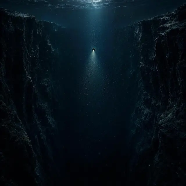
Strip away the jokes, and Null Island is a real spot with real coordinates: zero degrees latitude, zero degrees longitude, sitting in international waters in the Atlantic Ocean near the Gulf of Guinea. The water here runs deep, about 4,940 meters, or roughly 16,200 feet, straight down to the seabed.
There's no island, no sandbar, nothing above the waves. The closest scrap of land is about 570 kilometers north, near a point on Ghana's coastline called Achowa Point, between the towns of Akwidaa and Dixcove.
So the name is pure irony. An "island" that is, in fact, the middle of nowhere: open ocean, hundreds of kilometers from the nearest shore in any direction.
The Buoy Named Soul
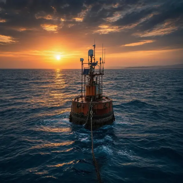
For years, Null Island wasn't entirely empty. A weather buoy called Soul floated right at zero-zero, one of 17 ocean-monitoring buoys placed there since 1997 by the United States, France, and Brazil under a program called PIRATA. In a whimsical touch, every buoy in the network was named after a music genre.
Soul's design was simple: a 3.8-meter, cone-shaped float anchored to the seabed by cable, built to track ocean and weather data far from any coastline. It didn't last long at its post. The buoy disappeared less than a year after installation and had to be replaced in 1998.
The program kept watch over that spot for over two decades before operations there finally ended in March 2021.