A Collision That Never Finished
The Himalayas were pushed up by a crash between continents. The Indian tectonic plate collided with the Eurasian plate, and the uppermost Indian crust buckled and folded upward into mountains.
What happened below is stranger. A lower layer of crust kept driving on into Tibet, thickening the plateau from underneath. Lower still, the remaining crust and the mantle slid down beneath Eurasia in a process called subduction.
The result is a range that runs west-northwest to east-southeast in an arc 2,400 km (1,500 mi) long, separating the plains of the Indian subcontinent from the Tibetan Plateau. Its width is not uniform: about 350 kilometres (220 miles) in the west, narrowing to 151 km (94 mi) in the east. Its western anchor is Nanga Parbat, just south of the northernmost bend of the Indus. Its eastern anchor is Namcha Barwa.
The Abode of Snow
The name comes from Sanskrit *Himalaya*, meaning "abode of snow", built from *hima* (frost or cold) and *alaya* (dwelling or house). It is a literal description that also sounds like poetry.
Older writings, including the Sanskrit epic the *Mahabharata*, sometimes call the range "Himivan". Other old names describe the same thing: *Himaraja*, "king of snow", in Sanskrit, and a Tibetan name meaning "land of snow".
The range even reached 19th-century American literature, transcribed as "Himmaleh" in Emily Dickinson's poetry and Henry David Thoreau's essays. Four parallel ranges make up the whole, running south to north: the Sivalik Hills, the Lower Himalayan Range, the Great Himalayas at the centre, and the Tibetan Himalayas.
Water for Six Hundred Million People
The Himalayas matter far beyond the people who can see them. Several of the world's major rivers rise in or near the range: the Indus, the Ganges, and the Tsangpo-Brahmaputra.
Their combined drainage basin is home to some 600 million people. By comparison, about 53 million people actually live in the mountains themselves. That gap is the whole story of the range's importance: the water travels far further than the rock.
The range spans five countries: Nepal, India, China, Bhutan and Pakistan, with sovereignty in the Kashmir region disputed among India, Pakistan and China. Kathmandu, capital of Nepal, is the largest city in the Himalayas. The Mahalangur Himal alone holds four of the six highest mountains on Earth: Cho Oyu, Everest, Lhotse and Makalu.
The Summits Nobody May Climb
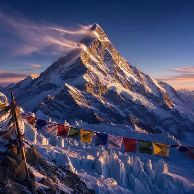
More than 100 peaks in the Himalayas exceed 7,200 metres (23,600 feet) above sea level, including the highest on Earth, Mount Everest. Yet some of the most striking summits are permanently off limits.
Several Himalayan peaks are closed to climbers altogether. The list includes Kangchenjunga from the Indian side, Gangkhar Puensum, Machapuchare and Nanda Devi, plus Kailash in the geologically distinct but nearby Tibetan Transhimalaya.
Gangkhar Puensum, the highest mountain in Bhutan, is a strong candidate for the highest unclimbed mountain in the world. In the middle of the range's great curve stand the 8,000 m peaks of Dhaulagiri and Annapurna, split by the Kali Gandaki Gorge, whose pass is the lowest point on the entire ridgeline between Everest and K2.