A $2,324 Hunt for a River Road
In 1803 the United States bought a huge stretch of land called the Louisiana Purchase, and much of it was a mystery. President Thomas Jefferson wanted it explored and mapped. Above all, he hoped to find "the most direct and practicable water communication across this continent" for trade. Congress set aside just $2,324 for supplies and food.
Jefferson picked Army Captain Meriwether Lewis to lead, and Lewis invited his close friend William Clark to share command. First, Lewis went back to school. He studied medicine in Philadelphia, learned to use a sextant for navigation, and practiced preserving plant and animal samples.
The shopping list was quite something. It included 193 pounds of portable soup, mosquito netting, oilskin bags and gifts for the peoples they would meet. One old book they carried left out the Rocky Mountains entirely. That may explain why they thought they could easily carry their boats from the Missouri River to the Columbia.
Up the Missouri With a Dog Named Seaman
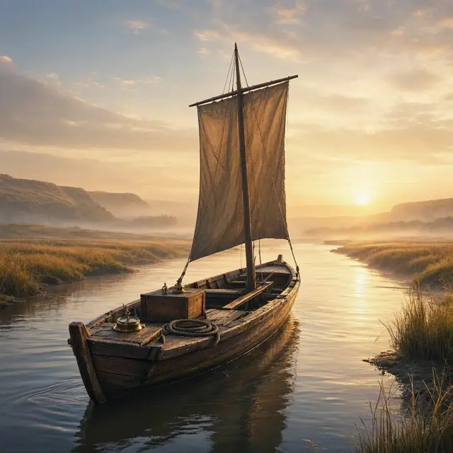
The Corps of Discovery set off from Camp Dubois, Illinois, at 4 pm on May 14, 1804. They pushed up the Missouri River in a keelboat and two pirogues. Accounts vary, but the group may have had as many as 45 members. They included soldiers, civilian volunteers, and York, an enslaved man who helped with hunting and the heavy work of pulling boats upstream.
There was also a dog. In Pittsburgh, Lewis had bought a Newfoundland named Seaman. Seaman helped with hunting and guarded the camp against bears. He was the only animal to finish the entire trip.
By late August they reached the edge of the Great Plains, full of elk, deer, bison, pronghorn and beavers. They spent the winter of 1804-1805 at Fort Mandan, in what is now North Dakota. In spring they sent the keelboat back to St. Louis, packed with specimens. Some had never been seen east of the Mississippi.
Sacagawea, the Interpreter Who Kept the Peace
At Fort Mandan, the expedition met a French-Canadian fur trapper, Toussaint Charbonneau, and his young Shoshone wife, Sacagawea. Charbonneau joined as a translator, and Sacagawea came too. In February 1805 she gave birth to a healthy boy, Jean Baptiste, who traveled with the group as a baby.
Many stories call Sacagawea the expedition's guide, but scholars say much of that is exaggeration. She did point out some landmarks. Her real value was as an interpreter and a peacemaker. She talked with chiefs and helped ease tensions. The sight of a woman with her infant son also signaled to the peoples they met that this was a peaceful mission.
She had a voice inside the group too. In November 1805, near the Pacific, the party voted on where to build their winter camp. Both Sacagawea and York took part in that vote. The expedition built good relations with about two dozen Native American nations, whose help kept them from starving or getting lost.
Ocean in View, and a Surprise Neighbor
The group followed the Missouri to its source, then crossed the Continental Divide at Lemhi Pass. They were the first Americans to do it. After crossing the Bitterroot Mountains, they built canoes and rode the Clearwater, Snake and Columbia rivers west. When they spotted Mount Hood, they knew the ocean was close.
They first saw the Pacific on November 7, 1805. That winter they built Fort Clatsop near modern Astoria, Oregon. Food was short and many men had colds, but Lewis spent the winter writing, filling page after page, mostly about the plants of the thick forests around him.
Here is the twist. A Russian expedition led by Nikolai Rezanov arrived at the mouth of the Columbia while they were there. Neither group knew the other existed. The homeward journey began on March 23, 1806, and the Corps reached St. Louis on September 23. A letter Clark left with the local Chinook had traveled by ship to Canton and reached Jefferson before they did.
140 Maps and Discoveries Nobody Read
Along the way, Lewis and Clark drew about 140 maps, the first accurate maps of the Pacific Northwest. They were also the first Americans to see Yellowstone. They made contact with over 70 Native American tribes and described more than 200 plant and animal species that were new to European Americans, though not to the peoples who already lived there.
Then most of that science got lost in the shuffle. The first full account, edited by Nicholas Biddle and published in 1814, left out much of the material on plants and animals. For the next 90 years it was the only printed version of the journals. As a result, many of their discoveries were later found again by others and given new names.
The full scientific record only reached the public in 1904-1905. During the 19th century the expedition was largely forgotten. Today North Dakota even has two highways named 1804 and 1806, after the years of the journey.